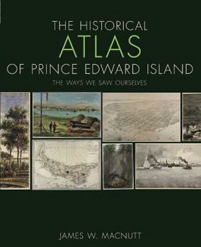
The Historical Atlas of Prince Edward Island: The Ways We Saw Ourselves
The Historical Atlas of Prince Edward Island presents history from the vantage point of the artists and map-makers who depicted the people, places and events of the Island in visual and graphic form. The book is heavily illustrated with full-colour maps, paintings, drawings and other illustrative material depicting culture, countryside and events.Using carefully selected antique maps, engravings, watercolours and images drawn from museum, archive...
Format:Paperback
Language:English
ISBN:0887808654
ISBN13:9780887808654
Release Date:October 2009
Publisher:Formac Publishing Company Limited
Length:96 Pages
Weight:1.20 lbs.
Dimensions:0.3" x 8.9" x 10.8"
Customer Reviews
0 rating


