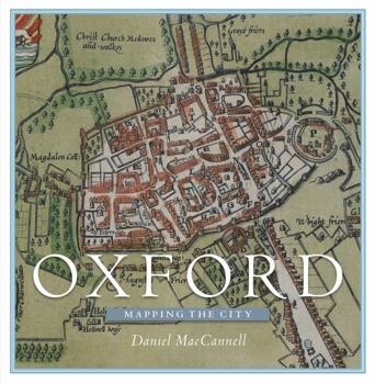
Oxford: Mapping the City
Over the past four and a half centuries, the magnificent city of Oxford has been mapped for many reasons, few of which have involved the mere finding of one's way through the streets. Maps were produced as part of schemes to defend Oxford from rampaging Roundheads, raging floodwaters, and the ravages of cholera; to plan the new canals and bridges of the eighteenth century and the new railways, tramways and suburbs of the nineteenth; to determine and...
Format:Hardcover
Language:English
ISBN:1780274009
ISBN13:9781780274003
Release Date:December 2016
Publisher:Birlinn
Length:304 Pages
Weight:3.90 lbs.
Dimensions:1.3" x 9.6" x 10.0"
Customer Reviews
0 rating


