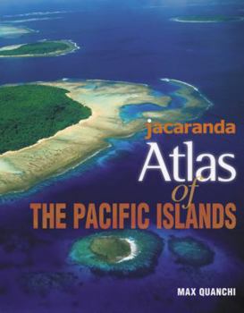
Jacaranda Atlas of the Pacific Islands
AGE 12 - ADULT
The Jacaranda Atlas of the Pacific Islands features mapping details and clarity pioneered by Jacaranda over 30 years of atlas publishing. it contains extensive map and case study coverage of the North and South Pacific region as well as a comprehensive World section with case studies. The atlas is full of high-quality illustrations including photos, block diagrams, satellite images and graphic displays.
Learning about the world is important but learning about your own part of the world is vital. For students who live and study in the Pacific region it has often been difficult to find accurate maps and information about their own country and their neighbours.
Jacaranda has changed all that with this stunning atlas destined to become the centrepiece of Social Studies courses throughout the Pacific region.
Features
Mapping detail and clarity pioneered by Jacaranda over 30 years of atlas publishing. Extensive map and case study coverage of the North and South Pacific region. Comprehensive World section with case studies. High quality illustrations including photos, block diagrams, satellite images and graphic displays. Pacific and world statistics for all countries. Developed in conjunction with Max Quanchi, acknowledged educational expert on the Pacific region.Related Subjects
Reference


