
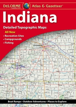
Indiana Atlas & Gazetteer
No Customer Reviews

Select Format
Select Condition 
Recommended
Format: Map
Condition: New
$21.46
Save $8.49!
List Price $29.95
Almost Gone, Only 5 Left!
Ships within 24 hours
Not eligible for Free Shipping
Book Overview
With an incredible wealth of detail, DeLorme's Atlas & Gazetteer is the perfect companion for exploring the Indiana outdoors. Extensively indexed, full-color topographic maps provide information on everything from cities and towns to historic sites, scenic drives, trailheads, boat ramps and even prime fishing spots. The Atlas & Gazetteer is your most comprehensive navigational guide to Indiana's backcountry. - Full-color topographic maps provide information on everything from cities and towns to historic sites, scenic drives, recreation areas, trailheads, boat ramps and prime fishing spots. - Extensively indexed. - Handy latitude/longitude overlay grid for each map allows you to navigate with GPS. - Inset maps provided for major cities as well as all state lands. Product Details: Dimensions: 15.5" x 11". Available for all 50 States!
Format:Map
Language:English
ISBN:1946494518
ISBN13:9781946494511
Release Date:November 2023
Publisher:Delorme Mapping Company
Length:64 Pages
Weight:0.85 lbs.
Dimensions:0.6" x 11.8" x 15.8"
Customer Reviews
0 rating
Copyright © 2025 Thriftbooks.com
Terms of Use | Privacy Policy | Do Not Sell/Share My Personal Information | Cookie Policy | Cookie Preferences | Accessibility Statement
ThriftBooks ® and the ThriftBooks ® logo are registered trademarks of Thrift Books Global, LLC
ThriftBooks ® and the ThriftBooks ® logo are registered trademarks of Thrift Books Global, LLC
