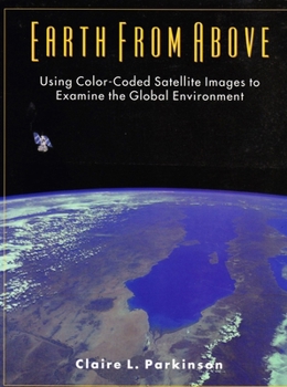
Earth From Above: Using color-coded satellite images to examine the global environment
Select Format
Select Condition 
Book Overview
Earth from Above provides an easy introduction to understanding and interpreting satellite images, using illustrative examples to instruct on the fantastically informative new global data sets. Beginning with two short chapters on visible satellite images and radiation, the book then covers six key Earth-atmosphere variables on such environmentally important topics as the Antarctic ozone hole, El Nino, deforestation, the missing carbon dilemma, and...
Format:Paperback
Language:English
ISBN:0935702415
ISBN13:9780935702415
Release Date:July 1997
Publisher:University Science Books
Length:192 Pages
Weight:1.30 lbs.
Dimensions:0.4" x 8.1" x 10.6"
Customer Reviews
1 rating
Excellent entry level book--suitable as a textbook
Published by Thriftbooks.com User , 24 years ago
There are two very important elements which come together in this excellent book: intelligent, understandable text and excellent illustrations. An added bonus is that Dr. Parkinson is noted for her thorough, well-reserched approach to her writings. She also has a unique ability to summarize this infomation in straight-forward, organized text. I highly recommend this book to those interested in remote sensing, or looking for an introductory text for their students. Also, see another wonderful publication edited by Dr. Parkinson, "Atlas of Satellite Observations Related to Global Change'.


