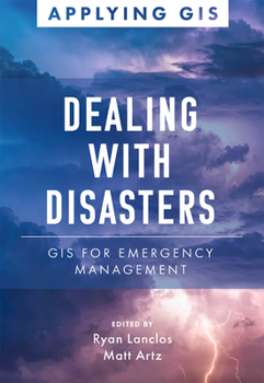
Dealing with Disasters: GIS for Emergency Management
Discover a modern approach to understanding threats and hazards that are more complex, costly, and devastating than ever before. Agencies around the world rely on geographic information systems (GIS) every day to plan for and mitigate complicated threats and hazards and coordinate emergency response and recovery efforts. Location intelligence provides the kind of deep, real-time data insights needed for managers, directors, and other...
Format:Paperback
Language:English
ISBN:1589486390
ISBN13:9781589486393
Release Date:April 2021
Publisher:Esri Press
Length:150 Pages
Weight:0.54 lbs.
Dimensions:0.4" x 5.5" x 7.9"
Customer Reviews
0 rating


