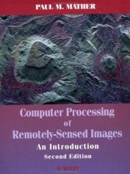
Computer Processing of Remotely-Sensed Images: An Introduction
Computer Processing of Remotely-Sensed Images An Introduction Second Edition Paul M. Mather School of Geography, The University of Nottingham, UK Remotely-sensed images of the Earth's surface provide an invaluable source of information about the geographical distribution of natural and cultural features, as well as a record of changes in environmental conditions over decadal time-scales. The second edition of this successful book provides an accessible...
Format:Paperback
Language:English
ISBN:0471985503
ISBN13:9780471985501
Release Date:June 1999
Publisher:Wiley
Length:306 Pages
Weight:1.40 lbs.
Dimensions:0.8" x 7.5" x 9.7"
Related Subjects
Computer Science Computer Technology Computers Computers & Technology Earth Sciences Engineering Geography Geology GIS Graphics & Multimedia Graphics & Visualization Methodology Programming Regional Science Science & Math Science & Scientists Science & Technology Software Engineering TechnologyCustomer Reviews
0 rating


