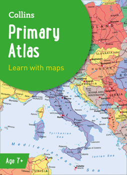
Collins Primary Atlas
This new, fully up-to-date edition includes information on map reading skills, the meaning of scale and measuring distances, and is ideal for classroom use or home learning. Reference maps:
- Informative, politically colored and easy-to-read
- National capitals and major cities are clearly labeled
- Maps are supported with national flags and basic national statistics Continental maps:
- Linked to regional mapping...
Format:Paperback
Language:English
ISBN:0008485941
ISBN13:9780008485948
Release Date:May 2022
Publisher:Collins
Length:68 Pages
Age Range:7 to 9 years
Grade Range:Grades 2 to 4
Customer Reviews
0 rating


