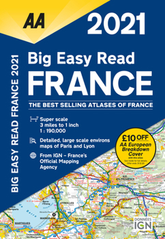
Big Easy Read France 2021
This easy-to-read road atlas includes 44 city, town and port plans central, Paris city plan, and district maps of Paris and Lyon. Includes road mapping for Corsica and a channel hopping guide with channel tunnel terminal, port plans and ferry information. 12-page route planner. Over 18,500 tourist sites shown. French place names used to match local road signs
Format:Paperback
Language:English
ISBN:0749582235
ISBN13:9780749582234
Release Date:December 2020
Publisher:AA Publishing
Length:272 Pages
Related Subjects
TravelCustomer Reviews
0 rating


