New York Vintage Map Journal Notebook, 100 pages/50 sheets, 4x6
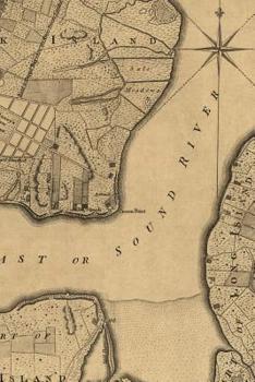
The cover of this beautiful 4" x 6" 100-page notebook of blank pages features a 18th century vintage street map plan of part of New York City. It shows "Road to Kings Bridge where the Rebels mean to make a stand" and "Road to Kepps Bay where the Kings troops landed." It also covers part of Manhattan Island up to present-day 14th Street and parts of Long Island. From The Universal Magazine of Knowledge and Pleasure, London, November 1776, volume...
Format:Paperback
Language:English
ISBN:194536677X
ISBN13:9781945366772
Release Date:January 1
Publisher:Poetose Press
Length:102 Pages
Weight:0.15 lbs.
Dimensions:0.2" x 4.0" x 6.0"
Customer Reviews
0 rating


